Wetter Mallorca · Independent weather site
Weather in Sa Coma: forecast, climate and Punta de n'Amer
Sa Coma is a resort in the municipality of Sant Llorenç des Cardassar on the east coast of Mallorca, between S'Illot and Cala Millor. This page puts the live forecast for the resort next to the averages for 2011 to 2025 and the sea off the beach.
Updated on 8/10/20264 min read12 Sources
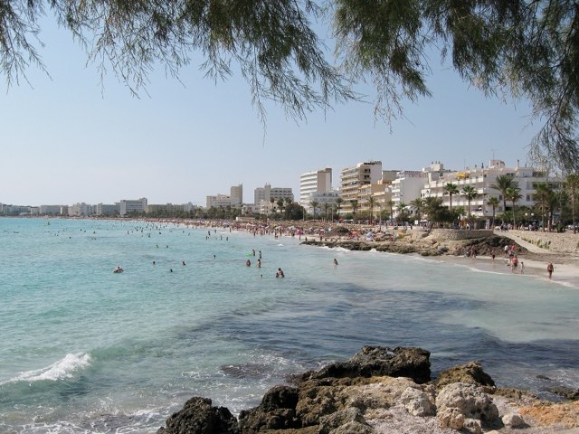
Photo: Olaf Tausch, CC BY-SA 3.0, Wikimedia Commons
In short
In Sa Coma the June high is 27.5 °C and only 12.9 mm of rain falls, measured at the AEMET station at Son Servera 5.4 km to the north. In September the sea is still 25.8 °C according to NOAA OISST, but the month brings 57.4 mm of rain. Both are averages for 2011 to 2025.
Key points
- In June Sa Coma reaches 27.5 °C by day and 17.0 °C at night, with 1.9 rain days.
- By day September is no cooler than June at 27.9 °C, but brings 57.4 mm over 6.1 rain days.
- Between September and January the sea off Sa Coma falls from 25.8 °C to 15.3 °C (NOAA OISST).
- The beach at Sa Coma is about 900 m long according to the Catalan Wikipedia, with the Punta de n'Amer peninsula to the north.
- AEMET publishes a beach forecast of its own for Sa Coma, for today and the two following days.
On this page
1Sa Coma over the next few days: two forecasts
The table below is requested from MET Norway for the coordinates of Sa Coma. For Mallorca, its documentation says, the service runs the global ECMWF model on a grid of about 9 km, with values up to the tenth day.
| Day | Weather | High | Low | Precipitation | Wind |
|---|---|---|---|---|---|
| Thursday 8 Oct | light rain showers | 21 °C | 16 °C | 1.6 mm | 33 km/h |
| Friday 9 Oct | fair | 21 °C | 15 °C | 0.0 mm | 32 km/h |
| Saturday 10 Oct | fair | 23 °C | 12 °C | 0.0 mm | 18 km/h |
| Sunday 11 Oct | partly cloudy | 24 °C | 14 °C | 0.0 mm | 14 km/h |
| Monday 12 Oct | light rain showers | 23 °C | 16 °C | 1.9 mm | 9 km/h |
| Tuesday 13 Oct | sunny | 24 °C | 17 °C | 0.0 mm | 18 km/h |
| Wednesday 14 Oct | sunny | 23 °C | 16 °C | 0.0 mm | 13 km/h |
| Thursday 15 Oct | partly cloudy | 24 °C | 15 °C | 0.0 mm | 7 km/h |
| Friday 16 Oct | light rain | 24 °C | 16 °C | 7.5 mm | 14 km/h |
| Saturday 17 Oct | partly cloudy | 19 °C | 13 °C | 0.3 mm | 37 km/h |
Data from MET Norway (Locationforecast 2.0). Data as of 8 Oct 2026, 15:16 (local time in Mallorca).
A grid cell of that size is wider than the whole coast from S'Illot to Cala Millor. The table therefore shows almost the same values for Sa Coma and its neighbours. For wind, the table shows strength alone, with no direction. For the beach itself there is also the AEMET beach forecast for Sa Coma, with sky, wind strength and waves in words, the high, water temperature and UV index, each for today and the two following days. How the week develops across the island is shown on the Mallorca 7-day weather page.
2Beach and dunes at Sa Coma
According to the Catalan Wikipedia the beach at Sa Coma is about 900 m long and 60 m wide. The municipality of Sant Llorenç des Cardassar describes the coast around the resort as long beaches of fine white sand, with dunes, fields and pine woods, and large seagrass meadows offshore.
Most of Sa Coma was built from the 1980s onwards, when hotels, apartments and second homes went up. According to the council the local economy rests mainly on the service sector.
On the map the beach at Sa Coma opens east to the open sea. When the wind comes from the east, it reaches the sand without shelter. Whether that happens on a given day cannot be read from the monthly averages, which contain no wind.
3Punta de n'Amer near Sa Coma: peninsula and watchtower
Between the beaches of Sa Coma and Cala Millor lies Punta de n'Amer, an almost flat peninsula of about 200 hectares. The council says it has been an area of special natural interest (ANEI) since 1985. According to the Catalan Wikipedia it is covered with juniper, mastic shrubs and Aleppo pines, with small sandy patches and dune plants in places along the shore.
On the peninsula stands the Castell de sa Punta de n'Amer, a 17th-century watchtower that Wikipedia says is now a museum. It lies 2.3 km east of Sa Coma in a straight line.
For a walk across the Punta, months without summer heat suit best. In April the high in Sa Coma is 20.0 °C with 4.7 rain days, in November 20.2 °C. In July and August, at around 30 °C by day, early morning is the better time.
4Climate in Sa Coma: June, September and winter
The twelve months at the Son Servera station, averaged over 2011 to 2025:
| Month | Avg high | Avg low | Rain | Rain days | Avg sea |
|---|---|---|---|---|---|
| January | 16.6 °C | 6.5 °C | 63.3 mm | 6.5 | 15.3 °C |
| February | 16.4 °C | 6.4 °C | 53.9 mm | 5.5 | 14.4 °C |
| March | 17.9 °C | 8.4 °C | 35.9 mm | 5.7 | 14.5 °C |
| April | 20.0 °C | 10.1 °C | 34.9 mm | 4.7 | 16.0 °C |
| May | 23.0 °C | 12.9 °C | 24.8 mm | 4.1 | 18.5 °C |
| June | 27.5 °C | 17.0 °C | 12.9 mm | 1.9 | 22.5 °C |
| July | 30.0 °C | 19.9 °C | 4.3 mm | 0.7 | 25.5 °C |
| August | 30.3 °C | 20.6 °C | 26.7 mm | 2.3 | 26.8 °C |
| September | 27.9 °C | 18.4 °C | 57.4 mm | 6.1 | 25.8 °C |
| October | 25.0 °C | 15.2 °C | 67.7 mm | 4.7 | 23.4 °C |
| November | 20.2 °C | 11.2 °C | 88.9 mm | 8.7 | 20.1 °C |
| December | 18.0 °C | 8.0 °C | 52.3 mm | 5.5 | 17.1 °C |
Averages of past years, not a forecast. Station: Son Servera (AEMET B496X). Fuente: AEMET. Years with complete data per month: 12 to 15. Sea: NOAA OISST v2.1, open sea.
June: 27.5 °C by day and 17.0 °C at night, with 12.9 mm of rain over 1.9 rain days. The sea is 22.5 °C in June and the swimming season begins.
September: At 27.9 °C the day stays almost at the June level, and the night is even milder at 18.4 °C. But 57.4 mm falls in September over 6.1 rain days, more than four times as much as in June.
December and January: In December, days in Sa Coma reach 18.0 °C and nights 8.0 °C. January comes to 16.6 °C by day and 6.5 °C at night, with 63.3 mm over 6.5 rain days.
Late summer across the island is covered on Mallorca weather in September, and the comparison with Palma in the Mallorca climate table.
5The sea at Sa Coma, May to January
In May the sea off Sa Coma is 18.5 °C, in June 22.5 °C and in July 25.5 °C. In August it reaches 26.8 °C.
After that it cools slowly. September sits at 25.8 °C, the analysis gives 23.4 °C for October and 20.1 °C for November. By January the water drops to 15.3 °C.
Source of these values: the NOAA OISST v2.1 satellite analysis, gridded at 0.25 degrees. The cell lies in open sea, centred on 39.625 N and 3.625 E, 22.3 km east of Sa Coma. It is the same cell as on the Cala Millor page. Nobody measures at the beach, and shallow water can be warmer or cooler. For the whole island, see Mallorca sea temperature.
6Sa Coma's neighbours and where the readings come from
According to Wikipedia Sa Coma borders S'Illot to the south and Cala Millor to the north. S'Illot is split between the municipalities of Manacor and Sant Llorenç des Cardassar. In the middle of it lie the remains of a Talaiotic settlement from around 1100 BC, abandoned in 123 BC after the Roman conquest.
There is no AEMET instrument in Sa Coma itself. Air and rain come from B496X Son Servera, 25 m above the sea and 5.4 km to the north. The same station serves Cala Millor, so the monthly averages are identical on both pages.
The figures are built from AEMET OpenData daily records between 2011 and 2025. Only 14 years stand behind the July, October and December temperatures and the July and October rainfall. November rainfall is based on 12 years, the December sea on 14. Every other value in the text has 15 years behind it. Here a rain day means 1 mm of precipitation or more.
Latest weather news
- Easter 2027 in Mallorca: holiday dates, processions in Palma and late March weather Things to do ·
- Autumn school holidays in Mallorca: what October and November weather looks like Things to do ·
- Hiking in Sóller: suitable days until 15 October in Mallorca Things to do ·
- Sea in Port d'Alcúdia: the best days until 15 October Things to do ·
Frequently asked questions
How long is the beach at Sa Coma?
According to the Catalan Wikipedia the beach at Sa Coma is about 900 m long and 60 m wide. It is fine, pale sand and runs from S'Illot in the south to Punta de n'Amer in the north. The hotels and apartments behind it were mostly built from the 1980s onwards.
What is Punta de n'Amer near Sa Coma?
An almost flat peninsula of about 200 hectares between Sa Coma and Cala Millor, protected since 1985 as an area of special natural interest (ANEI). Juniper, mastic and pines grow on it. Its 17th-century watchtower is now a museum according to Wikipedia, 2.3 km from Sa Coma in a straight line.
Is there a beach forecast for Sa Coma?
Yes. AEMET, the Spanish weather service, publishes a beach forecast for Sa Coma for today and the two following days, split into morning and afternoon. It gives sky, wind strength and waves, the high, the water temperature and the UV index. The table on this page runs to about ten days instead.
How warm is the sea in Sa Coma in September?
In September the sea off Sa Coma averages 25.8 °C, one degree less than in August at 26.8 °C. In June it is only 22.5 °C. The values come from the NOAA OISST analysis, averages for 2011 to 2025, for an open-sea grid cell 22.3 km east, not from the beach.
What is the weather like in Sa Coma in June?
In June the Son Servera station near Sa Coma records an average of 27.5 °C by day and 17.0 °C at night. June adds 12.9 mm of rain, spread over 1.9 rain days. Offshore, the water measures 22.5 °C in June. The basis is AEMET data and NOAA OISST for 2011 to 2025.
How mild is winter in Sa Coma?
By day Sa Coma stays mild in winter: 18.0 °C in December, 16.6 °C in January. At night January cools to 6.5 °C. Rain in January totals 63.3 mm across 6.5 rain days, while the water cools to 15.3 °C. December temperatures rest on 14 years of data, the rest on 15.
Does Sa Coma have the same climate figures as Cala Millor?
Yes. Air and rain for both pages come from the AEMET station at Son Servera, 5.4 km north of Sa Coma, and the sea from the same NOAA grid cell. The forecast from the 9 km grid comes out almost the same for both places.
Is S'Illot right next to Sa Coma?
Yes. According to Wikipedia Sa Coma borders S'Illot to the south, a resort that belongs partly to Manacor and partly to Sant Llorenç des Cardassar. S'Illot preserves the remains of a Talaiotic settlement from around 1100 BC. The forecast on this page applies to S'Illot in practically the same way.
Sources (12)
Sources
- AEMET OpenData, daily climate values, checked on 8/10/2026
- AEMET station inventory, station B496X Son Servera (39.6303 N, 3.3836 E, 25 m), checked on 8/10/2026
- NOAA OISST v2.1, daily sea surface temperature, via NOAA CoastWatch ERDDAP, checked on 8/10/2026
- MET Norway, Locationforecast 2.0, checked on 8/10/2026
- MET Norway, Locationforecast data model: for Mallorca the global ECMWF model, about 9 km grid, 0 to 10 days, 4 runs a day, checked on 8/10/2026
- MET Norway, licence and attribution (NLOD 2.0, CC BY 4.0), checked on 8/10/2026
- AEMET beach forecast for Sa Coma (code 0705104): today and the next two days, sky, wind strength, waves, high, water temperature, UV, checked on 8/10/2026
- Wikipedia (ca), La Coma (Sant Llorenç des Cardassar): resort on the east coast, bordering S'Illot and Cala Millor, beach 900 m long and 60 m wide, Punta de n'Amer with its 17th-century tower now a museum, growth from the 1980s, checked on 8/10/2026
- Sant Llorenç des Cardassar council, Sa Coma: fine white sand beaches, dunes, fields and pine woods, seagrass meadows, Punta de n'Amer about 200 ha, almost flat, ANEI since 1985, economy based on services, checked on 8/10/2026
- Wikipedia (ca), Punta de n'Amer: 200 ha peninsula between the beaches of Sa Coma and Cala Millor, maquis of juniper and mastic with Aleppo pines, small sandy patches with dune plants, checked on 8/10/2026
- Wikipedia (ca), L'Illot: resort split between Manacor and Sant Llorenç des Cardassar, Talaiotic settlement from about 1100 BC, abandoned in 123 BC, checked on 8/10/2026
- OpenStreetMap via Nominatim, coordinates of the Castell de la Punta de n'Amer (39.5799 N, 3.3962 E), basis of the 2.3 km distance, checked on 8/10/2026
Written and maintained by the Wetter Mallorca editorial team. Independent site, not an official weather service.
Fits the weather
Activities in Mallorca
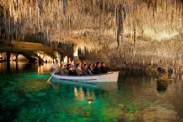
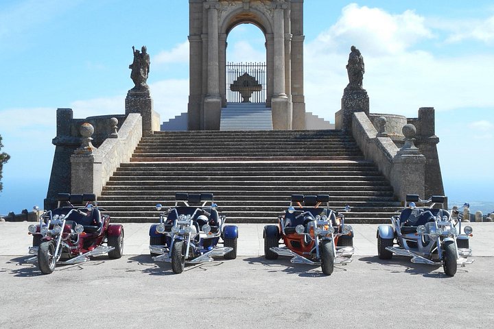
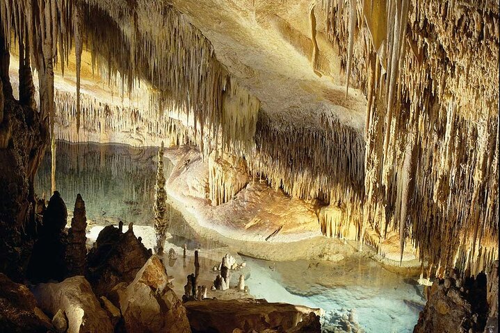

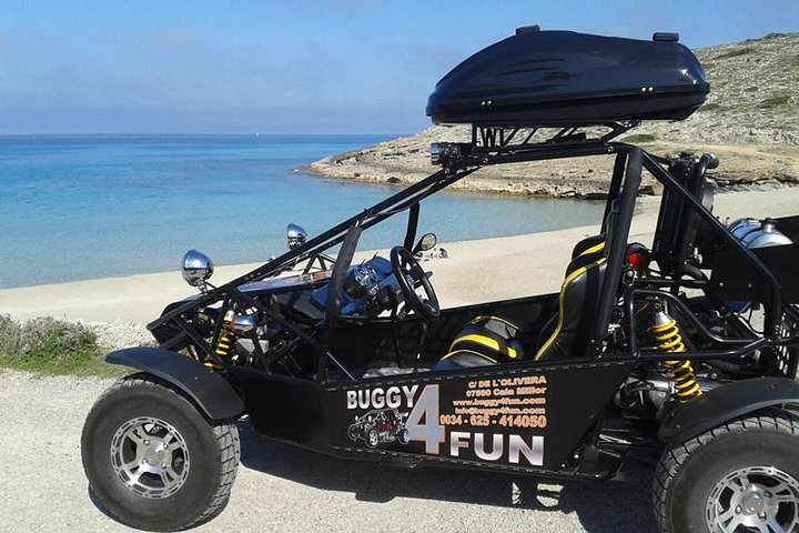
Prices are indicative from prices set by each provider. Booking happens on Viator. The site earns a commission on bookings made through these links and the price for you stays the same.
Plan
Read next
Cala Millor weather
Cala Millor lies on the east coast of Mallorca. Here you will find the forecast for the coming days and the climate of every month, measured at the …
Open →
Sea temperature
How warm the sea in Mallorca is depends mainly on the month and hardly on the coast. Here are the monthly means of the sea surface for three …
Open →September
In September it stays summery and warm in Mallorca, and the sea is warmer than in July. At the same time the rain returns.
Open →