Wetter Mallorca · Independent weather site
Weather in Playa de Muro: forecast, beach and s'Albufera
Playa de Muro, Platja de Muro in Catalan, is the beach resort of the municipality of Muro on the Bay of Alcúdia, with the s'Albufera natural park right behind the sand. This page puts the live forecast next to the 2011 to 2025 averages of an AEMET station only 1.7 km from the resort.
Updated on 8/10/20264 min read12 Sources
Photo: Marc Ryckaert, CC BY-SA 4.0, Wikimedia Commons
In short
Playa de Muro lies 1.7 km from the AEMET station at Muro, s'Albufera, closer than Alcúdia and Can Picafort, which use the same station. There June averages 28.0 °C by day with 16.6 mm of rain, and in February nights cool to 5.4 °C. The sea is 22.5 °C in June according to NOAA OISST, averages for 2011 to 2025.
Key points
- The Muro, s'Albufera station stands 1.7 km south-west of Playa de Muro, 2 m above the sea.
- From April to June the high in Playa de Muro climbs from 20.3 °C to 28.0 °C, while rain drops from 37.9 mm to 16.6 mm.
- In May the sea off Playa de Muro warms to 18.6 °C, in June to 22.5 °C (NOAA OISST).
- February brings 16.2 °C by day, 5.4 °C at night and 54.5 mm of rain.
- AEMET publishes a beach forecast for the Muro beach, 2.5 km south-east of the resort centre.
On this page
- Forecast for Playa de Muro: model and beach forecast
- The beach at Playa de Muro: four sections in front of s'Albufera
- s'Albufera behind Playa de Muro: natural park and weather station
- Climate in Playa de Muro: early summer and winter
- Sea off Playa de Muro: water temperature by month
- Distances from Playa de Muro and the basis of the figures
- Frequently asked questions
1Forecast for Playa de Muro: model and beach forecast
For the Playa de Muro location the page fetches values from MET Norway. According to its documentation the service uses the ECMWF model for Mallorca, a grid of about 9 km, four runs a day and values up to day 10.
| Day | Weather | High | Low | Precipitation | Wind |
|---|---|---|---|---|---|
| Thursday 8 Oct | rain | 20 °C | 17 °C | 9.9 mm | 41 km/h |
| Friday 9 Oct | fair | 20 °C | 16 °C | 0.5 mm | 44 km/h |
| Saturday 10 Oct | fair | 23 °C | 15 °C | 0.0 mm | 21 km/h |
| Sunday 11 Oct | partly cloudy | 24 °C | 15 °C | 0.0 mm | 16 km/h |
| Monday 12 Oct | partly cloudy | 23 °C | 17 °C | 1.1 mm | 12 km/h |
| Tuesday 13 Oct | sunny | 23 °C | 18 °C | 0.0 mm | 20 km/h |
| Wednesday 14 Oct | fair | 22 °C | 17 °C | 0.1 mm | 15 km/h |
| Thursday 15 Oct | partly cloudy | 24 °C | 16 °C | 0.0 mm | 7 km/h |
| Friday 16 Oct | rain | 23 °C | 16 °C | 19.9 mm | 13 km/h |
| Saturday 17 Oct | partly cloudy | 20 °C | 15 °C | 0.4 mm | 45 km/h |
Data from MET Norway (Locationforecast 2.0). Data as of 8 Oct 2026, 15:16 (local time in Mallorca).
From Playa de Muro it is 3.9 km in a straight line to Port d'Alcúdia and 5.4 km to Can Picafort. With a grid of that size the table shows almost the same weather for all three, and it cannot resolve differences over a few hundred metres between beach and wetland. For wind it gives the strength, not the direction.
AEMET also lists a beach called Muro in its beach forecast, with coordinates 2.5 km south-east of the resort centre on the coast. It covers today and the two following days with sky, wind strength, waves, the high, water temperature and UV index. What comes after day 10 is explained on the Mallorca 16-day weather page.
2The beach at Playa de Muro: four sections in front of s'Albufera
According to the Catalan Wikipedia the Muro beach, together with the Alcúdia beach, forms the dune barrier that separates the s'Albufera wetland from the sea. It is split into four sections, Sector I, Sector II, Es Comú and Es Capellans, and all four belong to the municipality of Muro.
Es Comú, the same article says, lies about a kilometre from Can Picafort and is protected as an area of special natural interest (ANEI). The resort itself includes the districts of Es Braç, Las Gaviotas, Muralcudia and Set Fotges according to the Spanish Wikipedia, while the scattered houses of Ses Casetes des Capellans count as a separate rural cluster.
This page deliberately gives no length: the body text of the Catalan Wikipedia and its infobox state different figures for the beach.
3s'Albufera behind Playa de Muro: natural park and weather station
Right behind the beach at Playa de Muro begins the s'Albufera natural park. The Spanish Wikipedia calls it the most extensive wetland in the Balearics. It is a former lagoon cut off from the sea by a dune belt that has filled with sediment over the centuries, declared a natural park in 1988.
The AEMET station B605X is named Muro, s'Albufera and stands 2 m above the sea, 1.7 km south-west of Playa de Muro. The Alcúdia and Can Picafort pages give 5.3 and 5.6 km for the same station. Of the three places whose monthly averages come from here, Playa de Muro is by far the closest.
4Climate in Playa de Muro: early summer and winter
The monthly values of the Muro, s'Albufera station, averaged over 2011 to 2025, are in this table:
| Month | Avg high | Avg low | Rain | Rain days | Avg sea |
|---|---|---|---|---|---|
| January | 16.0 °C | 5.4 °C | 62.4 mm | 6.4 | 15.1 °C |
| February | 16.2 °C | 5.4 °C | 54.5 mm | 5.9 | 14.3 °C |
| March | 18.0 °C | 7.7 °C | 40.9 mm | 5.5 | 14.5 °C |
| April | 20.3 °C | 9.7 °C | 37.9 mm | 4.7 | 16.1 °C |
| May | 23.6 °C | 12.5 °C | 30.6 mm | 4.3 | 18.6 °C |
| June | 28.0 °C | 16.6 °C | 16.6 mm | 1.9 | 22.5 °C |
| July | 30.7 °C | 19.3 °C | 6.4 mm | 1.0 | 25.5 °C |
| August | 30.8 °C | 19.7 °C | 26.6 mm | 2.1 | 26.7 °C |
| September | 27.8 °C | 17.5 °C | 70.9 mm | 6.4 | 25.7 °C |
| October | 24.6 °C | 14.1 °C | 60.8 mm | 5.5 | 23.3 °C |
| November | 19.7 °C | 10.2 °C | 114.1 mm | 8.9 | 19.9 °C |
| December | 17.2 °C | 6.7 °C | 54.6 mm | 5.9 | 16.9 °C |
Averages of past years, not a forecast. Station: Muro, S'Albufera (AEMET B605X). Fuente: AEMET. Years with complete data per month: 14 to 15. Sea: NOAA OISST v2.1, open sea.
Early summer: The high rises from 20.3 °C in April through 23.6 °C in May to 28.0 °C in June. At the same time rain falls from 37.9 mm in April to 16.6 mm in June. At night the station records 16.6 °C in June and 19.3 °C in July.
Winter: Mild days of 17.2 °C, nights of 6.7 °C and 54.6 mm over 5.9 rain days mark December. In February the day is 16.2 °C, the night 5.4 °C, and 54.5 mm falls.
For June on the rest of the island, see Mallorca weather in June.
5Sea off Playa de Muro: water temperature by month
From 18.6 °C in May the sea climbs to 22.5 °C in June and 25.5 °C in July. In August the water reaches 26.7 °C, and in September it is still above July at 25.7 °C. February has only 14.3 °C.
The values come from the NOAA OISST v2.1 satellite analysis, an open-sea cell off the bay centred on 39.875 N and 3.375 E, 23.3 km east-north-east of Playa de Muro. It is the same cell as on the Alcúdia and Can Picafort pages. These are not shoreline readings, and the shallows may differ. Other coasts of the island are covered under Mallorca sea temperature.
6Distances from Playa de Muro and the basis of the figures
According to the Spanish Wikipedia Playa de Muro is a locality of the municipality of Muro and its main tourist area. The article gives about 15 km to the main town of Muro.
In a straight line Port d'Alcúdia lies 3.9 km to the north and Can Picafort 5.4 km to the south-east. All three places use B605X here, so temperature and rain match the pages for Alcúdia and Can Picafort.
The basis is the 2011 to 2025 daily data from AEMET OpenData. Temperature from September to November and September rain have only 14 years, as does the December sea. All remaining values in the text rest on 15 years. A rain day here means a day with 1 mm of precipitation or more.
Latest weather news
- Easter 2027 in Mallorca: holiday dates, processions in Palma and late March weather Things to do ·
- Autumn school holidays in Mallorca: what October and November weather looks like Things to do ·
- Hiking in Sóller: suitable days until 15 October in Mallorca Things to do ·
- Sea in Port d'Alcúdia: the best days until 15 October Things to do ·
Frequently asked questions
Which AEMET station measures the weather for Playa de Muro?
The AEMET station B605X Muro, s'Albufera stands 1.7 km in a straight line south-west of Playa de Muro, 2 m above the sea. The Alcúdia and Can Picafort pages give 5.3 and 5.6 km for the same station. The 2011 to 2025 monthly averages on this page come from there.
Which beach near Playa de Muro has an AEMET forecast?
Yes. AEMET lists a beach called Muro in its beach forecast, with coordinates 2.5 km south-east of the centre of Playa de Muro. It covers today and the two following days and gives sky, wind strength, waves, the high, water temperature and UV index. The table above looks further ahead, to about day 10.
What is Es Comú on Playa de Muro?
Es Comú is one of the four sections of the Muro beach. According to the Catalan Wikipedia it lies about a kilometre from Can Picafort and is protected as an area of special natural interest (ANEI). Like the rest of the beach it belongs to the municipality of Muro.
What is the s'Albufera natural park near Playa de Muro?
A wetland right behind the beach at Playa de Muro, the most extensive in the Balearics according to the Spanish Wikipedia. It is a former lagoon cut off from the sea by a dune belt, a natural park since 1988. The AEMET station whose values this page shows is named after it.
How much does the sea off Playa de Muro warm up by June?
June takes the sea off Playa de Muro to an average of 22.5 °C, up from 18.6 °C a month earlier in May. For July the analysis shows 25.5 °C. The values come from NOAA OISST for an open-sea grid cell 23.3 km east-north-east, averages for 2011 to 2025, and not from a measurement at the beach.
What is the weather like in Playa de Muro in February?
In February the station near Playa de Muro averages 16.2 °C by day, and at night the value drops to 5.4 °C. In February rain adds up to 54.5 mm over 5.9 rain days. The sea is 14.3 °C in February, its lowest value of the year.
Does it rain a lot in Playa de Muro in December?
With 54.6 mm over 5.9 rain days, December in Playa de Muro is a moderately wet month. That is a good three times as much as June with 16.6 mm. By day December has 17.2 °C. Values from the AEMET station at Muro, s'Albufera, 2011 to 2025.
Do Playa de Muro, Alcúdia and Can Picafort have the same climate?
For temperature and rain this page shows the same monthly averages as Alcúdia and Can Picafort, because all three draw on the Muro, s'Albufera station. The sea, too, comes from the same NOAA grid cell for all three. And because the model grid is about 9 km wide, the forecast too gives barely distinguishable values for all three.
Sources (12)
Sources
- AEMET OpenData, daily climate values, checked on 8/10/2026
- AEMET station inventory, station B605X Muro, s'Albufera (39.7967 N, 3.1047 E, 2 m), checked on 8/10/2026
- NOAA OISST v2.1, daily sea surface temperature, via NOAA CoastWatch ERDDAP, checked on 8/10/2026
- MET Norway, Locationforecast 2.0, checked on 8/10/2026
- MET Norway, Locationforecast data model: for Mallorca the global ECMWF model, about 9 km grid, 0 to 10 days, 4 runs a day, checked on 8/10/2026
- MET Norway, licence and attribution (NLOD 2.0, CC BY 4.0), checked on 8/10/2026
- AEMET beach forecast for the Muro beach in the municipality of Muro (code 0703901, 39° 47' 23" N, 3° 07' 50" E): today and the next two days, sky, wind strength, waves, high, water temperature, UV, checked on 8/10/2026
- AEMET, list of beaches with a beach forecast and their coordinates, checked on 8/10/2026
- Wikipedia (ca), Platja de Muro: with the Alcúdia beach it forms the dune barrier of s'Albufera, four sections (Sector I, Sector II, Es Comú, Es Capellans) in the municipality of Muro, Es Comú about 1 km from Can Picafort and an ANEI, checked on 8/10/2026
- Wikipedia (es), Playa de Muro: locality of the municipality of Muro, its main tourist area, districts Es Braç, Las Gaviotas, Muralcudia and Set Fotges, about 15 km to Muro, checked on 8/10/2026
- Wikipedia (es), s'Albufera de Mallorca Natural Park: the most extensive wetland in the Balearics, a former lagoon behind a dune belt, natural park since Decree 4/1988, checked on 8/10/2026
- OpenStreetMap via Nominatim, coordinates of Platja de Muro (39.8094 N, 3.1161 E), Port d'Alcúdia (39.8420 N, 3.1330 E) and Ca'n Picafort (39.7680 N, 3.1493 E), checked on 8/10/2026
Written and maintained by the Wetter Mallorca editorial team. Independent site, not an official weather service.
Fits the weather
Activities in Mallorca

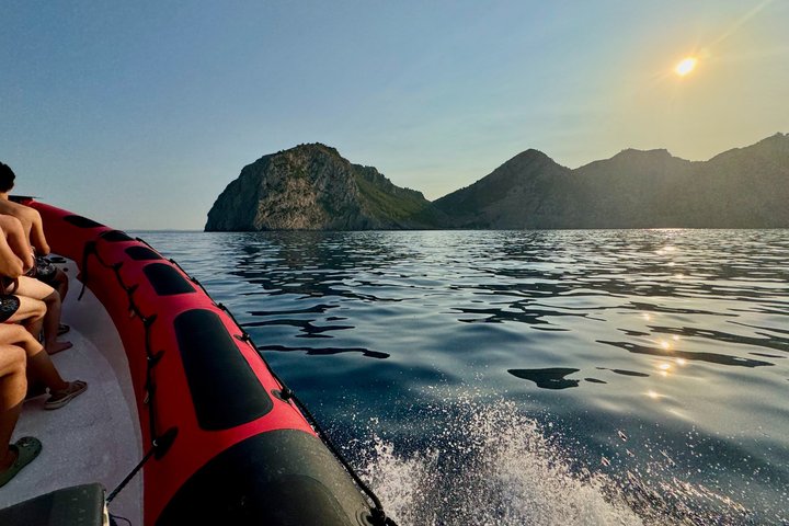

Prices are indicative from prices set by each provider. Booking happens on Viator. The site earns a commission on bookings made through these links and the price for you stays the same.
Plan
Read next
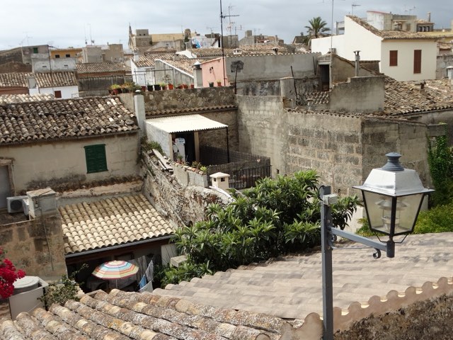
Alcúdia weather
Alcúdia sits in the north of Mallorca on a small peninsula between the bays of Pollença and Alcúdia. Here you find the live forecast for Port …
Open →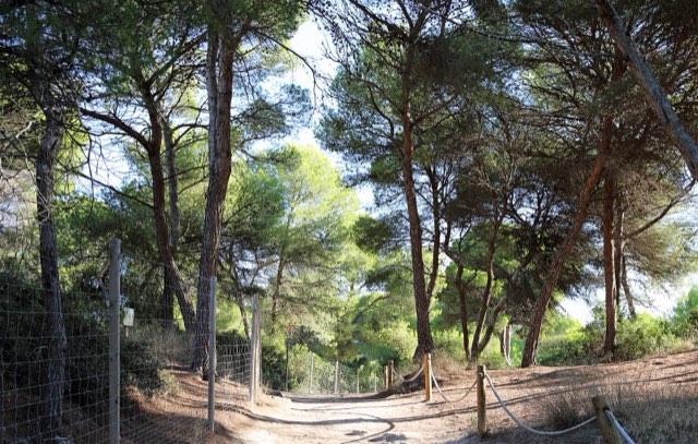
Can Picafort weather
Can Picafort is the largest town in the municipality of Santa Margalida and sits roughly in the middle of the Bay of Alcúdia. Below are the live …
Open →Sea temperature
How warm the sea in Mallorca is depends mainly on the month and hardly on the coast. Here are the monthly means of the sea surface for three …
Open →