
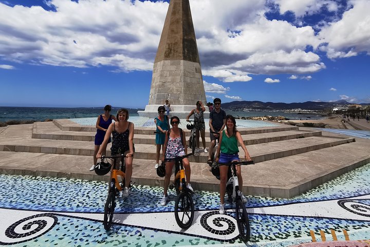
3 Hours E-Bike Tour in Palma
3 hfrom70 €
Wetter Mallorca · Independent weather site
Palma is the capital of Mallorca and lies on the Bay of Palma in the south of the island. Here you will find the forecast for the city and the readings from its weather station in the port.
Photo: Olaf Tausch, CC BY 3.0, Wikimedia Commons
This page shows the MET Norway forecast for Palma de Mallorca, around 9 to 10 days ahead. On average from 2011 to 2025, the AEMET station Palma Puerto records 30.9 °C by day in August and 16.3 °C in January. In a year 457.3 mm of rain falls, and November is the wettest month with 87.3 mm. The open sea off the Bay of Palma averages 26.9 °C in August (NOAA OISST).
The forecast below applies to the coordinates of Palma city centre (39.5696 N, 2.6502 E). It comes from MET Norway, covers around 9 to 10 days and updates automatically.
| Day | Weather | High | Low | Precipitation | Wind |
|---|---|---|---|---|---|
| Monday 5 Oct | partly cloudy | 27 °C | 21 °C | 0.0 mm | 13 km/h |
| Tuesday 6 Oct | overcast | 27 °C | 19 °C | 0.0 mm | 14 km/h |
| Wednesday 7 Oct | light rain showers | 25 °C | 20 °C | 4.5 mm | 21 km/h |
| Thursday 8 Oct | partly cloudy | 25 °C | 18 °C | 0.8 mm | 19 km/h |
| Friday 9 Oct | partly cloudy | 22 °C | 15 °C | 0.0 mm | 17 km/h |
| Saturday 10 Oct | partly cloudy | 24 °C | 14 °C | 0.0 mm | 4 km/h |
| Sunday 11 Oct | partly cloudy | 24 °C | 14 °C | 0.0 mm | 9 km/h |
| Monday 12 Oct | fair | 26 °C | 15 °C | 0.0 mm | 6 km/h |
| Tuesday 13 Oct | light rain showers | 26 °C | 16 °C | 0.5 mm | 13 km/h |
| Wednesday 14 Oct | fair | 27 °C | 18 °C | 0.0 mm | 10 km/h |
Data from MET Norway (Locationforecast 2.0). Data as of 5 Oct 2026, 15:19 (local time in Mallorca).
MET Norway provides no values beyond that. For later travel dates this page only shows the monthly averages of past years in the table below. The page on the 14 and 16 day forecast explains why.
The table shows the averages for the years 2011 to 2025 at the AEMET station Palma Puerto for all twelve months.
| Month | Avg high | Avg low | Rain | Rain days | Avg sea |
|---|---|---|---|---|---|
| January | 16.3 °C | 8.7 °C | 42.8 mm | 6.0 | 15.4 °C |
| February | 16.4 °C | 8.6 °C | 37.4 mm | 5.3 | 14.5 °C |
| March | 18.1 °C | 10.5 °C | 37.3 mm | 6.1 | 14.7 °C |
| April | 20.4 °C | 12.8 °C | 32.1 mm | 4.7 | 16.3 °C |
| May | 23.5 °C | 15.9 °C | 25.9 mm | 3.0 | 18.9 °C |
| June | 27.8 °C | 20.2 °C | 14.9 mm | 1.7 | 22.7 °C |
| July | 30.6 °C | 23.3 °C | 3.0 mm | 0.6 | 25.7 °C |
| August | 30.9 °C | 23.6 °C | 21.0 mm | 1.5 | 26.9 °C |
| September | 28.3 °C | 21.0 °C | 56.3 mm | 5.1 | 25.9 °C |
| October | 25.1 °C | 17.6 °C | 63.1 mm | 4.9 | 23.5 °C |
| November | 20.3 °C | 13.3 °C | 87.3 mm | 8.1 | 20.0 °C |
| December | 17.8 °C | 10.5 °C | 36.2 mm | 4.5 | 17.0 °C |
Averages of past years, not a forecast. Station: Palma Puerto (AEMET B228). Fuente: AEMET. Sea: NOAA OISST v2.1, open sea.
Summer in Palma is hot and almost dry. In July the average high is 30.6 °C, in August 30.9 °C. The nights stay warm too: in August the temperature drops on average only to 23.6 °C. In July just 3.0 mm of rain falls on 0.6 rain days.
Winter is mild. In January Palma reaches 16.3 °C by day and 8.7 °C at night. The coolest nights come in February with 8.6 °C on average.
In spring the high climbs from 20.4 °C in April to 23.5 °C in May. In autumn it falls back from 28.3 °C in September through 25.1 °C in October to 20.3 °C in November.
Autumn is the wettest season. The wettest month is November with 87.3 mm on 8.1 rain days. In October 63.1 mm falls on 4.9 rain days. Over the year Palma adds up to 457.3 mm on 51.5 rain days.
The sea off Palma is coldest in February at 14.5 °C on average. In May it is 18.9 °C, in June 22.7 °C. The water is warmest in August at 26.9 °C, in September it is still 25.9 °C and in October 23.5 °C.
The values come from the NOAA OISST satellite analysis of the sea surface at the entrance to the Bay of Palma (39.375 N, 2.625 E), around 22 km in a straight line south of the city centre. They are averaged over 2011 to 2025. At the beach and in shallow coves the water can be warmer or colder. The page on sea temperature in Mallorca compares other coasts.
Palma has few rain days over the year, but in autumn they come more often. November has 8.1 rain days on average. That is when places with a roof are worth it:
In high summer afternoons in Palma are hot, in August 30.9 °C on average. The highest value in the years 2011 to 2025 was 39.1 °C on 13 August 2022. So plan walks through the old town and the climb to Bellver for the morning or evening, and spend the midday hours indoors or by the water.
To see what a single month looks like in Palma, try October in Mallorca, with a calendar for every day. Every day of the year is in the weather calendar.
The climate values come from AEMET station B228 Palma, Puerto. It stands in the port at 3 m above sea level, around 2.7 km in a straight line from the city centre. The analysis uses daily values for the years 2011 to 2025. A rain day is a day with at least 1 mm of precipitation.
The station measures right on the coast. In higher districts and inland the weather can be different on the same day. The same station is behind the climate table for Mallorca.
The live forecast on this page shows the weather for Palma city centre for around 9 to 10 days. It comes from MET Norway and updates itself. MET Norway provides no values beyond that, and for later days there are only averages for the years 2011 to 2025.
In August the average high in Palma is 30.9 °C and the average low is 23.6 °C. The highest value in the years 2011 to 2025 was 39.1 °C on 13 August 2022. The readings come from the AEMET station Palma Puerto in the port.
In November Palma gets on average 87.3 mm of rain on 8.1 rain days. That makes November the wettest month. The driest is July with 3.0 mm. The values are averages for the years 2011 to 2025 at the Palma Puerto station.
In January Palma de Mallorca reaches on average 16.3 °C by day and 8.7 °C at night. The coolest nights come in February with 8.6 °C. The values come from the years 2011 to 2025 at the Palma Puerto station.
Yes, the sea at the entrance to the Bay of Palma averages 23.5 °C in October, and 25.9 °C in September. That is warmer than in June. The value comes from the NOAA OISST analysis for the open sea, and at the beach it can differ.
In May Palma reaches 23.5 °C by day on average, but the open sea off the bay is only 18.9 °C. In June the sea temperature rises to 22.7 °C.
In November, the wettest month in Palma with 8.1 rain days, places with a roof are worth it. They include the Gothic La Seu cathedral by the sea and the city history museum in Bellver Castle.
At the coastal station Palma Puerto, almost never. In the years 2011 to 2025 the temperature there only dropped to 0 °C or below in February 2012. The lowest value was -0.1 °C on 4 February 2012. On average, nights in February are 8.6 °C.
Written and maintained by the Wetter Mallorca editorial team. Independent site, not an official weather service.
Fits the weather
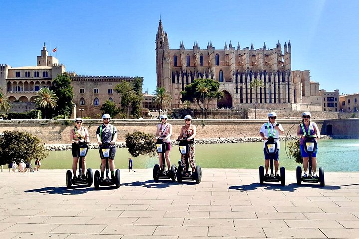
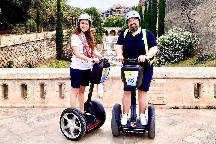


Prices are indicative from prices set by each provider. Booking happens on Viator. We earn a commission on bookings made through these links and the price for you stays the same.
Plan

In Mallorca October is still warm, and the sea is warmer than in June. But it is among the rainiest months.
Open →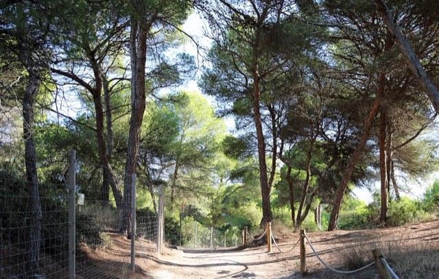
How warm the sea in Mallorca is depends mainly on the month and hardly on the coast. Here are the monthly means of the sea surface for three stretches
Open →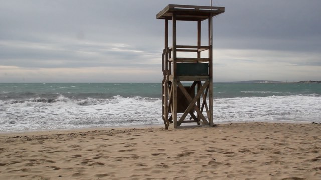
A real weather forecast for Mallorca covers around 9 to 10 days. For days 11 to 16, this page shows what was usual on those calendar days in past year
Open →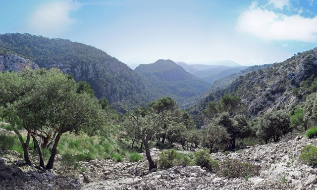
The climate table shows for each month how warm it gets in Palma de Mallorca, how cool the nights are and how much rain falls. It is based on 15 years
Open →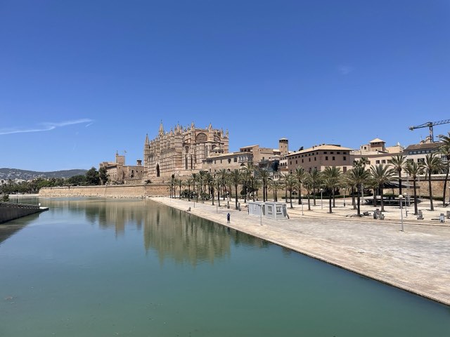
Every day in the colour of its average high in Palma de Mallorca. Click an arrival day and a departure day to see the averages for those dates.
Open →Travel planner
Beaches, towns, markets, hikes and activities for every region of the island, with sources and a map.