_-_6.jpg)
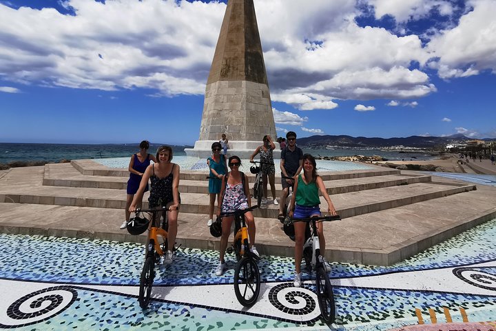
3 Hours E-Bike Tour in Palma
3 hfrom70 €
Wetter Mallorca · Independent weather site
Playa de Palma is the long sandy beach on the eastern side of the Bay of Palma, between Can Pastilla and S'Arenal. The forecast for a point in the eastern part of the beach comes first, then the climate of the bathing season.
Photo: MARIA ROSA FERRE ✿, CC BY-SA 2.0, Wikimedia Commons
At Playa de Palma the nearest AEMET station, at Palma airport, averages 32.1 °C by day in July and August, and only 3.7 mm of rain falls in July. The sea reaches 26.9 °C in August and is still 25.9 °C in September. Averages for 2011 to 2025 (AEMET, NOAA OISST), with the station 4.8 km north of the beach in a straight line.
The forecast below is calculated for a point in the eastern part of the beach, at 39.5178 N and 2.7426 E, and comes live from MET Norway. According to the service's documentation, the values for this region come from the global ECMWF model, on a grid of about 9 km, recalculated four times a day and running to day 10.
| Day | Weather | High | Low | Precipitation | Wind |
|---|---|---|---|---|---|
| Thursday 8 Oct | partly cloudy | 22 °C | 18 °C | 0.2 mm | 32 km/h |
| Friday 9 Oct | fair | 21 °C | 17 °C | 0.0 mm | 28 km/h |
| Saturday 10 Oct | partly cloudy | 22 °C | 15 °C | 0.0 mm | 19 km/h |
| Sunday 11 Oct | partly cloudy | 23 °C | 17 °C | 0.0 mm | 14 km/h |
| Monday 12 Oct | light rain showers | 25 °C | 19 °C | 1.0 mm | 13 km/h |
| Tuesday 13 Oct | sunny | 25 °C | 17 °C | 0.0 mm | 14 km/h |
| Wednesday 14 Oct | partly cloudy | 25 °C | 16 °C | 0.6 mm | 12 km/h |
| Thursday 15 Oct | fair | 24 °C | 17 °C | 0.0 mm | 11 km/h |
| Friday 16 Oct | light rain | 23 °C | 17 °C | 6.4 mm | 12 km/h |
| Saturday 17 Oct | partly cloudy | 20 °C | 14 °C | 0.4 mm | 22 km/h |
Data from MET Norway (Locationforecast 2.0). Data as of 8 Oct 2026, 15:16 (local time in Mallorca).
After the tenth day there is no forecast for Playa de Palma, only averages from past years. For a look at the coming week across the island, see the page on Mallorca weather for 7 days.
The table gives the average high and low, the rain days and the rainfall for every month over 2011 to 2025, measured at the AEMET station at Palma airport. The same station supplies the figures for El Arenal and Can Pastilla, so the table there is identical.
| Month | Avg high | Avg low | Rain | Rain days | Avg sea |
|---|---|---|---|---|---|
| January | 15.9 °C | 4.6 °C | 40.7 mm | 5.5 | 15.4 °C |
| February | 16.2 °C | 4.6 °C | 31.1 mm | 4.9 | 14.5 °C |
| March | 18.1 °C | 7.0 °C | 32.0 mm | 5.6 | 14.7 °C |
| April | 20.9 °C | 9.2 °C | 27.3 mm | 4.1 | 16.3 °C |
| May | 24.5 °C | 12.3 °C | 25.1 mm | 2.9 | 18.9 °C |
| June | 29.2 °C | 17.0 °C | 18.5 mm | 1.7 | 22.7 °C |
| July | 32.1 °C | 20.0 °C | 3.7 mm | 0.7 | 25.7 °C |
| August | 32.1 °C | 20.3 °C | 19.7 mm | 1.7 | 26.9 °C |
| September | 28.8 °C | 17.7 °C | 53.1 mm | 5.3 | 25.9 °C |
| October | 25.2 °C | 14.0 °C | 56.3 mm | 5.0 | 23.5 °C |
| November | 19.8 °C | 9.7 °C | 77.1 mm | 8.0 | 20.0 °C |
| December | 17.2 °C | 6.3 °C | 36.1 mm | 4.3 | 17.0 °C |
Averages of past years, not a forecast. Station: Palma De Mallorca, Aeropuerto (AEMET B278). Fuente: AEMET. Sea: NOAA OISST v2.1, open sea.
June: Summer at Playa de Palma starts with 29.2 °C by day and 17.0 °C at night. In June 18.5 mm falls on 1.7 rain days.
July and August: Both months average 32.1 °C by day. July is the driest month of the year, with 3.7 mm on 0.7 rain days. In August 19.7 mm falls on 1.7 rain days, and the night averages 20.3 °C in August.
September: The high is still 28.8 °C in September. With 53.1 mm on 5.3 rain days, though, rain comes back in September, almost three times as much as in June.
A day-by-day calendar for high summer is on the page about the weather in Mallorca in August. Travelling to Playa de Palma in April and May, or in November and December? Those months are on the pages about Can Pastilla and El Arenal, with the same station figures.
In June the sea off Playa de Palma averages 22.7 °C. It rises to 25.7 °C in July and to 26.9 °C in August, the highest value of the year. In September it is still 25.9 °C, so the water is warmer in September than in July.
The figures come from the NOAA OISST v2.1 satellite analysis of the sea surface. The grid cell at 39.375 N and 2.625 E lies 18.8 km south-west of the forecast point on the beach, in open water off the bay. Near the shore, where the water is shallow, it can be warmer or cooler. The page on sea temperature in Mallorca compares the coasts.
How long the beach is depends on the source: the German Wikipedia article on Platja de Palma gives about 4.5 km, the one on S'Arenal six kilometres, the Catalan Wikipedia more than 4.6 km. The beach runs from Can Pastilla in the west to S'Arenal in the east. Where the Torrent des Jueus reaches the sea, the municipality of Palma ends and Llucmajor begins.
The beach is divided into 15 sections, the balnearios, each with a beach bar that carries its number. Since 1993 the count starts with 15 in Can Pastilla and ends with 1 in S'Arenal. Before that there were ten balnearios, numbered from 0 in Can Pastilla to 9 in S'Arenal.
On this page's own reading of the map, the coast between Can Pastilla and El Arenal runs from north-west to south-east, so the beach faces south-west across the bay. A south-westerly wind comes over the water onto the sand, while a north-easterly arrives over land and blows from the beach out to sea.
Playa de Palma is the Spanish name and Platja de Palma the Catalan one, and both mean beach of Palma. The city of Palma also uses the name for a district that includes, besides the beach, Can Pastilla, the Palma side of S'Arenal and the airport grounds, among others. Anyone who swaps the words and writes Palma de Playa means this same beach.
AEMET does not measure on the beach itself. The values come from station B278 Palma de Mallorca, Aeropuerto, at 5 m above sea level and 4.8 km north of the forecast point on the beach in a straight line. They are based on daily values from 2011 to 2025 from AEMET OpenData, with 15 complete years for every June to September value quoted in the text. Rain days are counted here from 1 mm of precipitation in a day.
The airport station is not the harbour station that the page on the weather in Palma relies on. Its averages therefore differ from those of the city.
In August the station near Playa de Palma averages 32.1 °C by day and 20.3 °C at night. In August 19.7 mm falls on 1.7 rain days, and the sea is 26.9 °C. These are 2011 to 2025 averages from the AEMET station at Palma airport and from NOAA OISST.
Hardly. In July Playa de Palma averages 3.7 mm on 0.7 rain days, in June 18.5 mm on 1.7 rain days. Only in September does the amount rise to 53.1 mm. Figures from the AEMET station at Palma airport, averages for 2011 to 2025.
In June the sea off Playa de Palma averages 22.7 °C. By July it rises to 25.7 °C. The values come from the NOAA OISST satellite analysis for open water 18.8 km south-west of the forecast point on the beach, and the shallow water near the shore can differ.
Yes, the sea averages 25.9 °C in September, more than in July. The air reaches 28.8 °C by day in September. With 53.1 mm on 5.3 rain days, though, September brings clearly more rain again. Averages for 2011 to 2025 from AEMET and NOAA OISST.
According to the German Wikipedia the beach is about 4.5 km long, from Can Pastilla in the west to S'Arenal in the east. The German article on S'Arenal gives six kilometres instead, the Catalan Wikipedia more than 4.6 km. The municipality of Palma ends at the Torrent des Jueus, and the eastern end at S'Arenal belongs to Llucmajor.
Playa de Palma is divided into 15 sections, the balnearios, each with a beach bar that carries its number. Since 1993 the count runs from 15 in Can Pastilla to 1 in S'Arenal. Before that, according to Wikipedia, there were ten balnearios, counted in the opposite direction.
Yes. Palma de Playa is the name with its words swapped. It means Playa de Palma, in Catalan Platja de Palma, the beach of Palma between Can Pastilla and S'Arenal. The city of Palma also gives the name to one of its districts.
From AEMET station B278 Palma de Mallorca, Aeropuerto, 4.8 km north of the forecast point on the beach in a straight line, at 5 m above sea level. It uses daily values from 2011 to 2025. The same station supplies El Arenal and Can Pastilla, so the monthly averages on the three pages are the same.
Written and maintained by the Wetter Mallorca editorial team. Independent site, not an official weather service.
Fits the weather
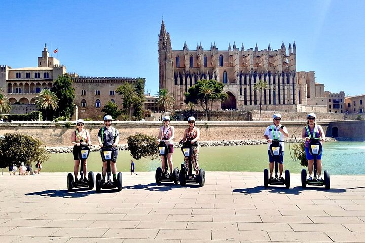
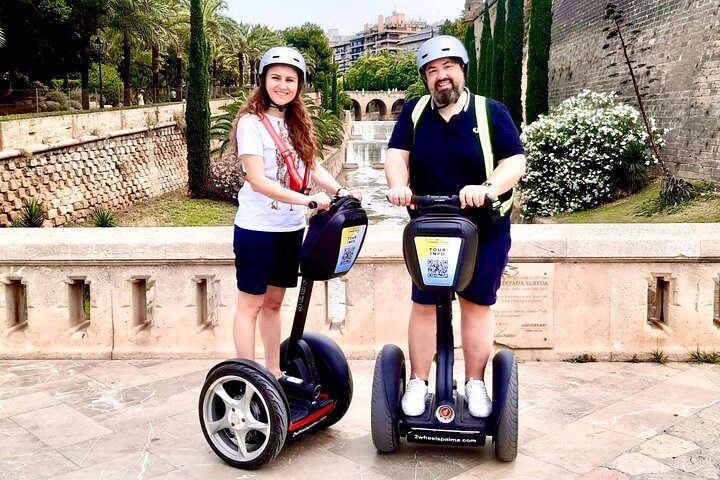
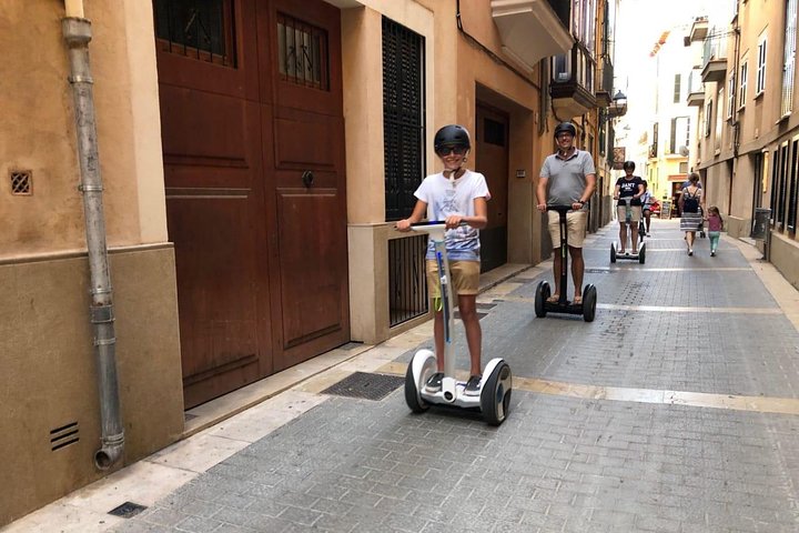
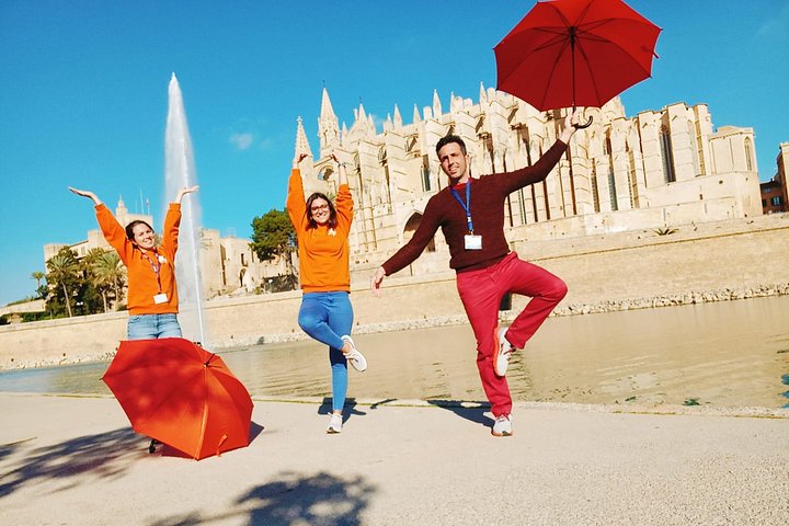
Prices are indicative from prices set by each provider. Booking happens on Viator. The site earns a commission on bookings made through these links and the price for you stays the same.
Plan
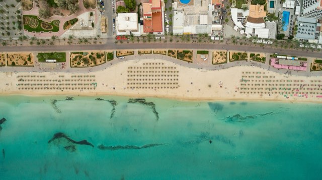
El Arenal, S'Arenal in Mallorcan, lies at the south-eastern end of the Bay of Palma, where Playa de Palma ends. The town belongs partly to Palma and …
Open →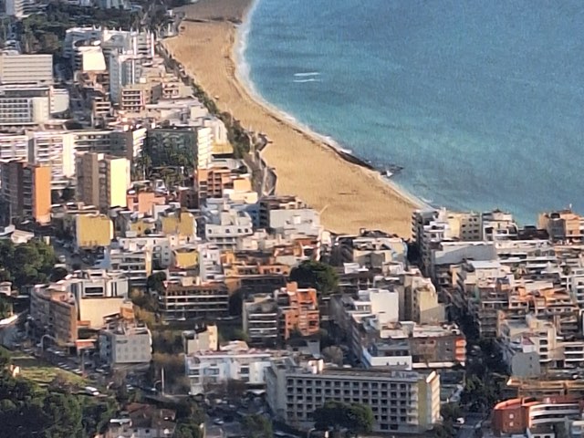
Can Pastilla is a district of Palma at the western start of Playa de Palma, just south of Son Sant Joan airport. Its climate figures come from the …
Open →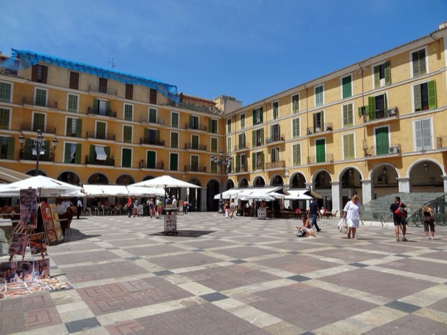
Palma is the capital of Mallorca and lies on the Bay of Palma in the south of the island. Here you will find the forecast for the city and the …
Open →The forecast for the week, the sea temperature and the Mallorca weather news. Free, unsubscribe at any time.
The confirmation link is on its way to
Nothing there? Check the spam or promotions folder. The link is valid for 48 hours.